Bus lines on La Gomera: Line 1 (San Sebastián – Valle Gran Rey)

Bus line 1 on La Gomera connects the island's capital San Sebastián de La Gomera with the "Valle Gran Rey" and stops at all places in between. Of particular interest for all GR-132 hikers are the stops at the "Pajaritos" roundabout just below the island summit (entry into stage 1) and the stations in Chipude (shortening of stage 1), Las Hayas (destination of stage 2) and Arure ( crossing point of stage 2 and stage 3). The following places are served by bus line 1 (research status: January 2020):

  • Estacion de Valle Gran Rey
  • Playa
  • La Puntilla
  • Vueltas
  • Calera
  • Guada
  • Arure
  • Las Hayas
  • El Cercado
  • chipude
  • Igualero
  • Pajaritos
  • Degollada de Peraza
  • San Sebastian de La Gomera

The official departure times can be found here: www.guaguagomera.com. However, the times given there only refer to the starting stop. When the stops are then reached, you have to theoretically calculate yourself based on the distance. Unfortunately, this is very customer-unfriendly, but it hasn't changed on La Gomera for years.

Tip: The bus timetable from La Gomera - including the intermediate stations - is much clearer on the following website:
https://moovitapp.com/la_gomera-5875/lines/de

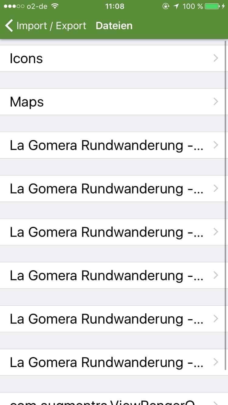
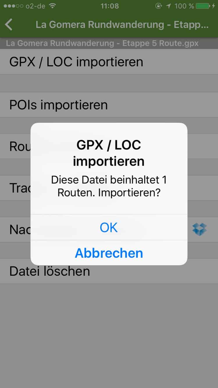
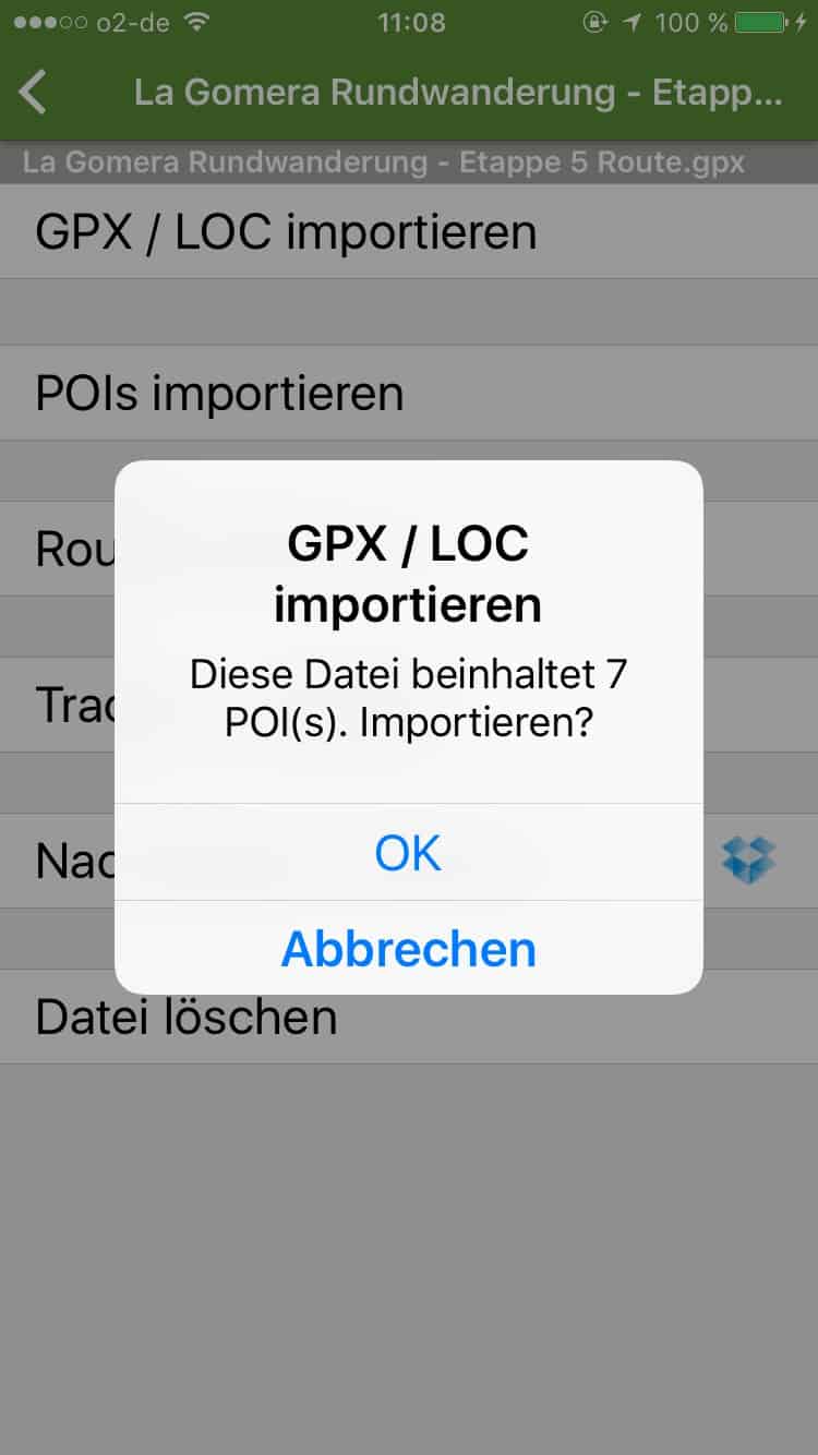
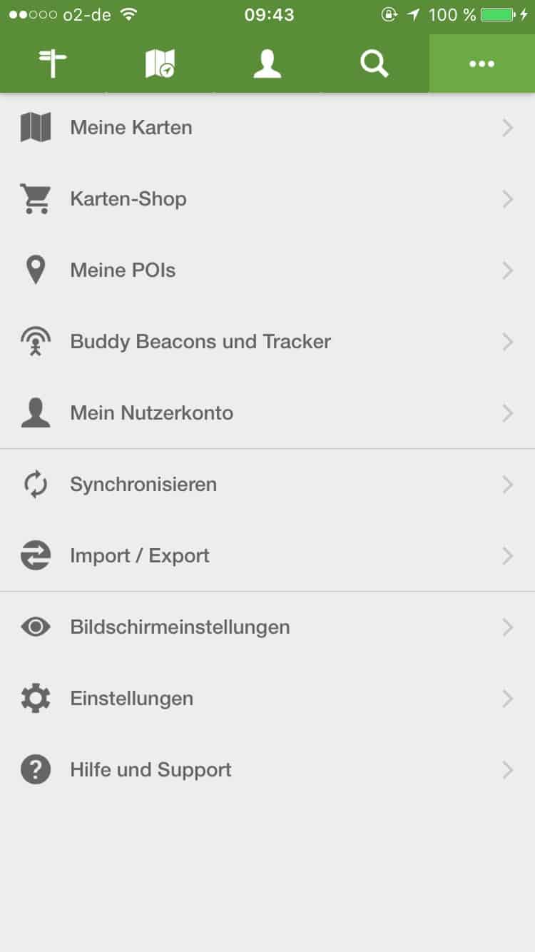
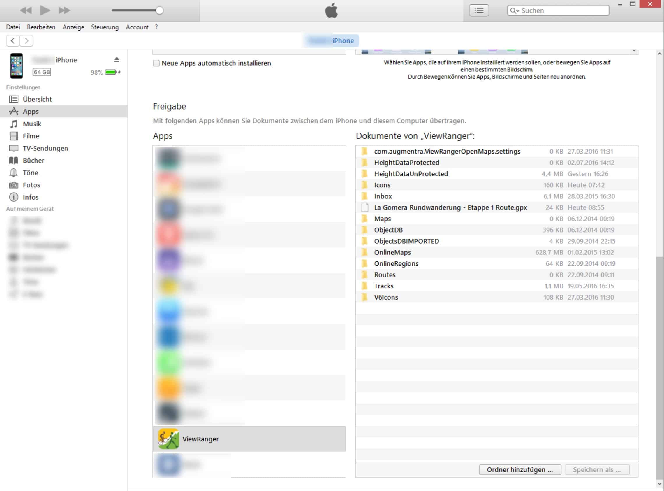
How-To: Add Files to ViewRanger App via iTunes (iPhone)

iPhone: GPX files can also be synchronized via iTunes or imported into the Viewranger app

GPX file import via iTunes explained step by step (Instructions for iOS or iPhone).

Danger: The screenshots below are from an outdated version of the Viewranger app. You can find more recent instructions at www.wanderndeluxe.de/anleitung-zur-viewranger-app-gpx-daten-via-itunes-importieren

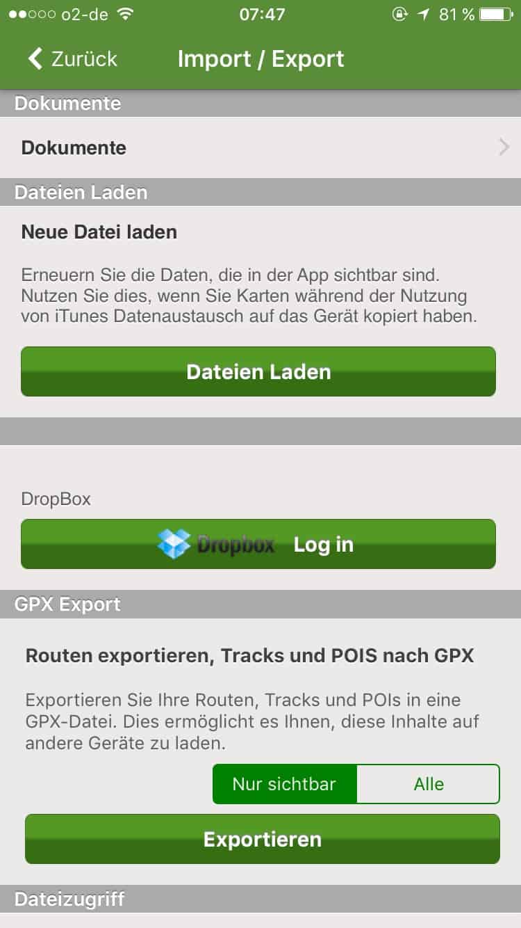
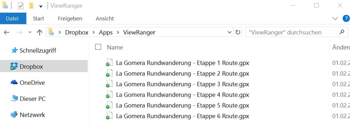
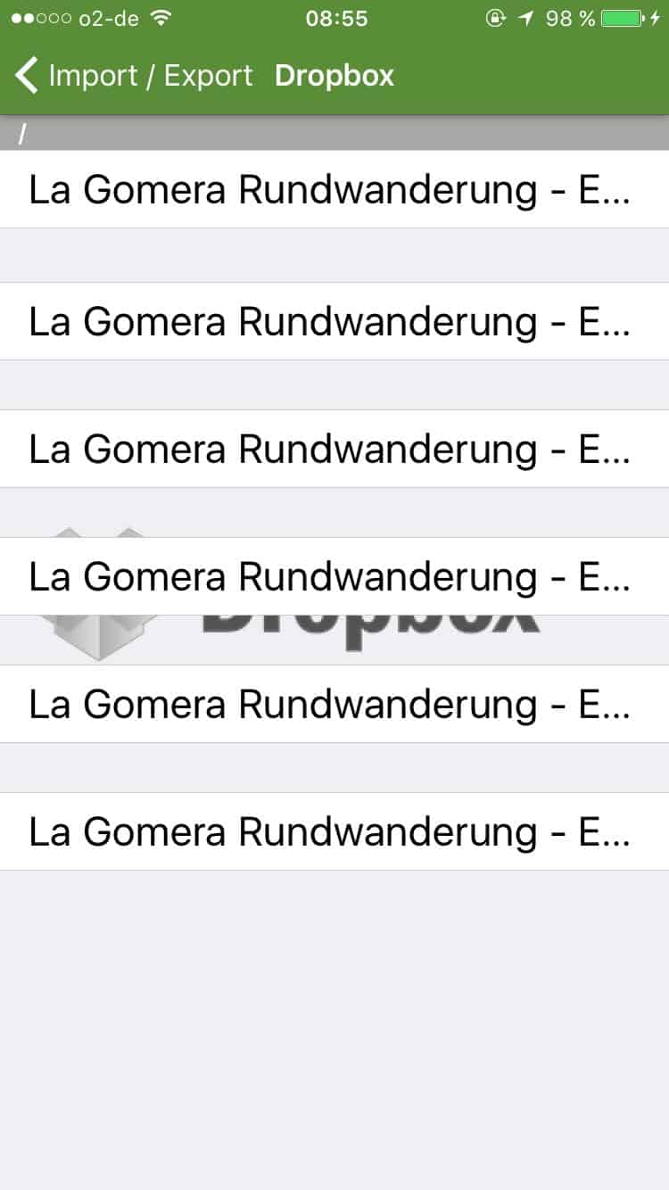
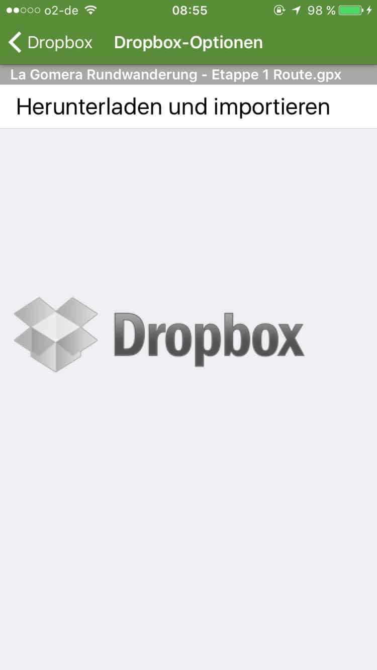
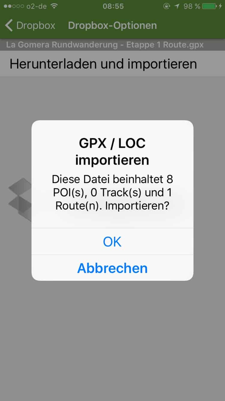
Instructions: Import GPX files into the Viewranger app via Dropbox

Import GPX files into the Viewranger app via Dropbox

Danger: The screenshots below are from an outdated version of the Viewranger app. You can find more recent instructions at www.wanderndeluxe.de/anleitung-zur-viewranger-app-gpx-daten-via-dropbox-importieren.

eBook on the La Gomera circular hike

Now available as a free download: The pdf eBook for the circular hike on La Gomera

Due to many requests, the stage descriptions of the La Gomera circular hike are now also available as an e-book - as a practical companion for on the go, so to speak!
The eBook is intended for use on a smartphone as well as for printouts on paper:

  • smart phone: we've been careful not to use too much text per page to keep everything readable even on a small screen.
  • Expression: we recommend "2 pages per sheet" as the print option, otherwise the font is really very large.

No Downloads found

Book accommodation – made easy

To make travel planning easier, you can use the table below, in which you can enter the planned start date and the number of overnight stays per stage. After the date values in the table have been updated, you can search for available rooms in the accommodations we recommend for each stage with the corresponding check-in dates on booking.com. The selected date from the table should be adopted automatically.

number of overnight stays
(per milestone)
accommodation search
with these dates
Recommended accommodation
San Sebastian de la Gomera
Arrival day (optional)
xx.xx.xxxxxx.xx.xxxxHotel Torre del Conde
La Calera (Valle Gran Rey)
Milestone 1
xx.xx.xxxxxx.xx.xxxxHotel Jardin Concha
Las Hayas
Milestone 2
xx.xx.xxxxxx.xx.xxxxJardin Las Hayas
Vallehermoso
Milestone 3
xx.xx.xxxxxx.xx.xxxxAparthotel Triana II
Hermigua
milestone 4
xx.xx.xxxxxx.xx.xxxxHotel Ibo Alfaro
San Sebastian de la Gomera
Milestone 5 (and 6)
xx.xx.xxxxxx.xx.xxxxHotel Torre del Conde
....or Playa de Santiago
alternative milestone 6
xx.xx.xxxxxx.xx.xxxxvarious
relaxation days
on the south side
xx.xx.xxxxxx.xx.xxxx
We have tested our tabular booking aid several times, but we cannot guarantee that the date is always correctly transferred to booking.com. Please check the date again before booking!

.

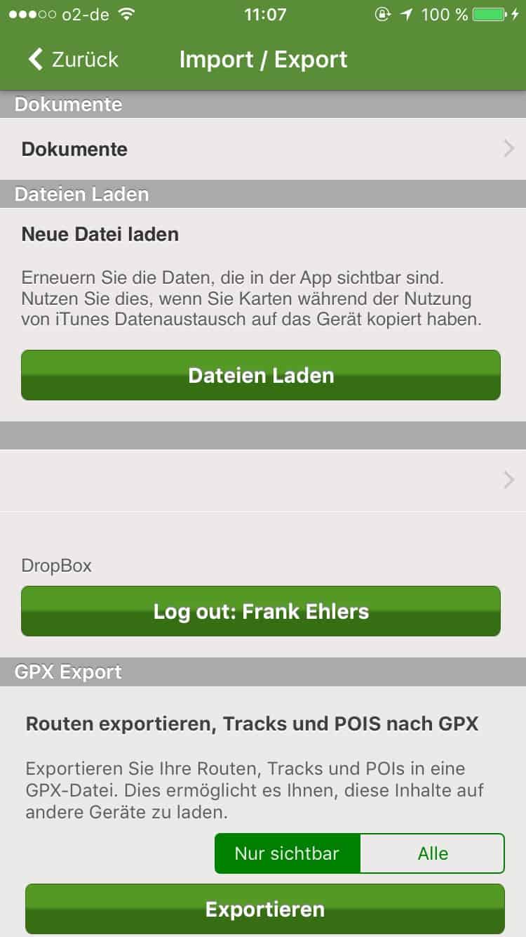
GPX file import in the Viewranger app: brief instructions

The Viewranger app offers the possibility to import GPX files with GPS route information. Unfortunately, the Viewranger app is not entirely self-explanatory in this respect and the import is a bit cumbersome.

There are two steps to displaying a GPS route in the Viewranger app:

1.) Transferring the files to the smartphone (two alternative possibilities):

a) Connect via Dropbox

b) manual file transfer to the file directory of the smartphone app

2.) Choice, which of the transmitted routes should be displayed on the map ("import").

The procedure differs somewhat, depending on whether you are using the iPhone or the Android version of the app. The official Viewranger support page explains the individual steps in English (iOS - Advanced Topics or. Android - Advanced Topics). 

We explain the procedure for transferring files to the Viewranger app in the following section using the iPhone app - both for Dropbox import and for transfer via iTunes.