Stage 4: Directions
Directions stage 4
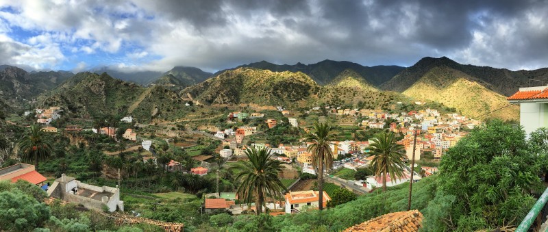
We start today's stage in the main square of Vallehermoso and leave it downhill in the direction of the gas station. There we turn right in front of the playground decorated with female sculptures (waypoint 1). In the hairpin bend that follows, we branch off the road and take the stairs up as a shortcut. Back on the road we keep left at the next hairpin bend in the direction of "las Rosas" (waypoint 2). Soon the paved road leads to a concrete path. We leave this shortly afterwards to the left and go up on a path paved with dry stone walls.
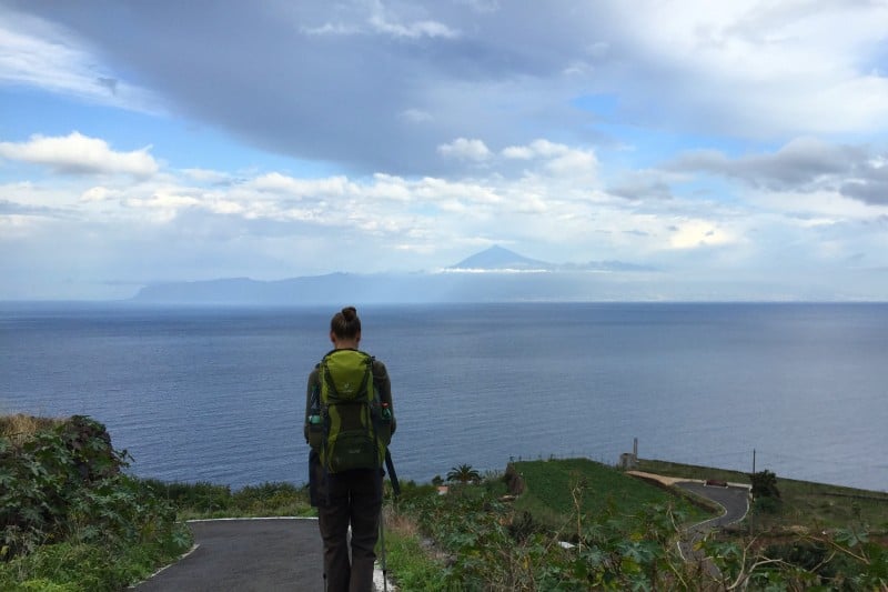
The steep ascent leads us to the Roque Cano and from there, more pleasantly and with great views, to the beginning of the settlement of Cruz de Tierno. We keep to the left on the tarred road and shortly thereafter come to a fork in the road (waypoint 3). Both paths lead to the nearby reservoir. If you like to take the official route, go left, if you go right, you will reach your destination in the same way, as both routes meet again shortly afterwards. Arriving at the reservoir, we walk around it on the dam wall and get a glimpse of Mount Teide for the first time. A detour of 100m to the restaurant el Campesino is possible (waypoint 4).
The path continues up a flight of stairs at the north-eastern corner of the reservoir (be careful, the pavement here is fenced off with a lattice, if you discover the stairs too late you have to go back a few meters, waypoint 5). We reach a narrow tar road, which we follow uphill for a short while, but leave it straight ahead in the next left turn (waypoint 6). The path leads past a private driveway. The entrance is somewhat hidden, but can be recognized by the wooden steps.
After about 50 meters in altitude, the path branches off, we turn left past a power pole (waypoint 7). If the weather is reasonably clear, we will be rewarded for the ascent with a view of Mount Teide. We follow the path more or less straight ahead through a small depression and after the depression we cross a road, which we meet again shortly thereafter and which we then (i.e. the second time we meet) follow to the left (waypoint 8). Here again a view of the Teide. Along the road there are several restaurants designed for tourists such as "Juego de Bolas", "El Tambor" and a visitor center of the Garajonay National Park.
Facts about stage 4
Altitude: 950m ascent / 950m descent
Route: 17km
Duration: 7:00 a.m. (without breaks)
Route download - Stage 4 (GPX file)
All other downloads can be found at maps.
From the visitor center via Agulo to Hermigua
At the restaurant "El Tambor" there is the possibility to continue hiking directly to Hermigua - we do not recommend this route (waypoint 9). We recommend the detour via Agulo because of the spectacular view. To do this, we walk between the visitor center and the restaurant. At the end of the small cluster of buildings, turn left. More spectacular views of Mount Teide are our reward. We ignore all branches to the right. At a point that is somewhat reminiscent of a lunar landscape because of the raised mounds of earth, we are led by signs to the left (waypoint 10), catch a brief glimpse of La Palma and then begin a longer descent.
Tip from Reinhold and Elisabeth: At waypoint 10, it is worth making a detour to the viewpoint "Mirador de Abrante" (approx. 750 metres / one-way). The restaurant with the spectacular viewing platform is "temporarily" closed, but the view is magnificent.
At a T-junction, after about 100 meters of descent, we meet another hiking trail. We go downhill to the right until we meet a road at waypoint 11. We turn right on the road and turn left just before the tunnel onto the hiking trail, which leads us downhill in a right curve to the cemetery of Agulo.
We follow the road through Agulo, where there are various opportunities to stop. We recommend a quick stop at "Restaurante La Vieja Escuela" which has nice outdoor seating in the alcoves of the street wall (located in the semi-circular "Calle Poeta Trujillo Armas").
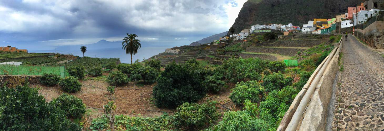
We cross the church square straight ahead and leave it through the narrow "Calle Pintor Aguiar". At the next turn (waypoint 12) we turn left and don't let the dead end sign scare us off. In order to cross the gorge in front of us in the direction of Hermigua, we keep to the right at the next junction. With a view of the Teide we hike downhill, at the end of the road only on stone steps and through terraced terrain.
When we have crossed the small gorge, in the village of "Lepe" we meet a road again that takes us to the bay of Hermigua or to the "Playa de Santa Catalina". Here we turn the first possibility to the right (waypoint 13) and start the ascent towards the center of Hermigua. Although the route is no longer very spectacular and runs on a paved road, it does pass a large SPAR supermarket on the main road. Recommendation: since there are no rest stops along tomorrow's stage, buying in advance is a good idea here.
Stage 4: accommodation
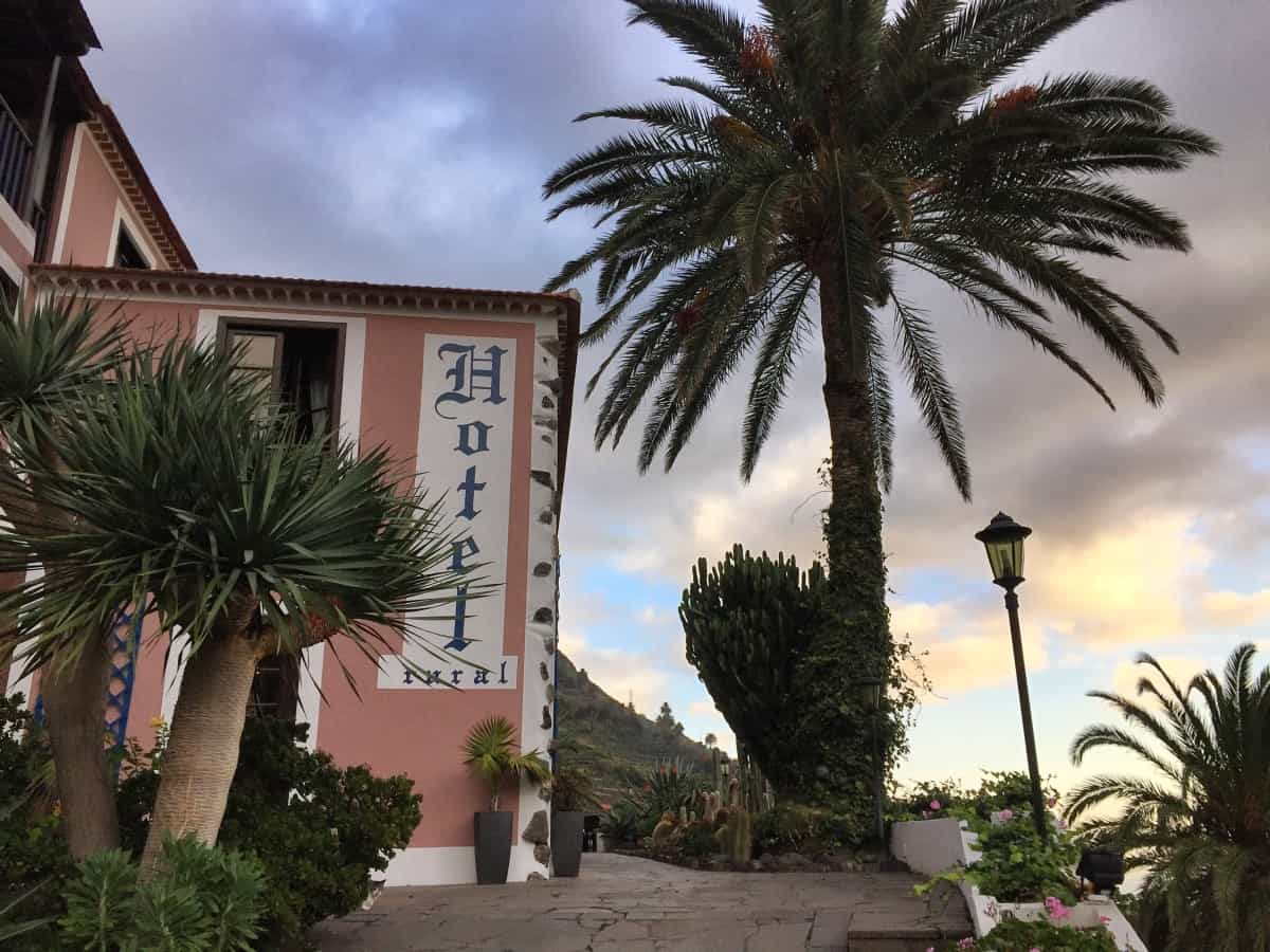
Hotel Rural Ibo Alfaro
The building of the Hotel Rural Ibo Alfaro was originally an old manor house, which was lovingly renovated and converted into a hotel, so that the charm of the original architecture shines in all its glory today (Link: Hotel Rural Ibo Alfaro).
The rooms and bathrooms are comfortable and the breakfast is excellent: many hikers will be happy about the fresh wholemeal bread!
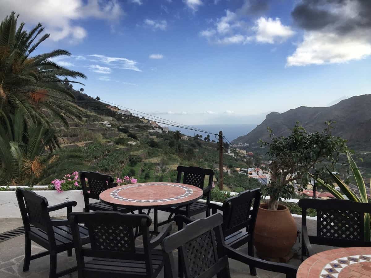
The hotel is located slightly above the village, so after a strenuous day of hiking, an extra 50 meters in altitude must be planned for. You will be rewarded with a beautiful view from the well-kept terrace or from your room.
For booking accommodation we recommend: our tabular planning aid.
