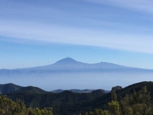
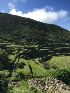
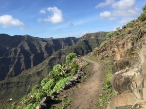
All stages are also available as a download in GPX format for use in combination with a suitable smartphone app or an outdoor GPS device. Click here for file downloads.
Altitude profile of the circular hike on La Gomera (GR-132)
Altitude profile for all six stages of the circular hike on La Gomera (from left to right). Requirement: JavaScript activated in the browser.
overview
stage | distance | duration | rise | descent | overnight stay in |
|---|---|---|---|---|---|
| Arrival on La Gomera | San Sebastian de la Gomera (as after stage 5) | ||||
| stage 1 | 15km | 5:30 a.m | 180m | 1450m | La Calera |
| stage 2 | 11km | 4:30 a.m | 950m | 100m | Las Hayas |
| stage 3 | 16.7km | 6:45 a.m | 730m | 1550m | Vallehermoso |
| stage 4 | 17km | 7:00 a.m | 950m | 950m | Hermigua |
| stage 5 | 17.9 km | 6:30 a.m | 800m | 950m | San Sebastian de la Gomera |
| stage 6 | 21km | 7:30 a.m | 1140m | 1140m | San Sebastian de la Gomera or Playa de Santiago |
| In total | 98.6 km | 37:45 h | 4,750m | 6,140m |
6 beautiful day hikes!
The GR-132 can be completely hiked in 6 day hikes, each with 6 - 7 hours walking time (+ breaks). Depending on the stage destination, the selection of accommodation (which can be reserved online) is very limited. Good planning and early reservation is therefore advisable if you do not want to rely on spontaneously available private overnight stays!
Practical tip for getting started
In this respect, the route between "Playa de Santiago" and the "Valle Gran Rey" is particularly problematic. If you start from "San Sebastian" - the main town of the island - and stick slavishly to the route of the GR-132, this section would be hiking day 2 and 3. Purely from the route, an overnight stay in the middle of in Offer "La Dama", only that this place only offers holiday apartments and holiday homes - rather impractical for a long-distance hike.
We therefore propose a variant that does not require an overnight stay in "La Dama" and cleverly combines parts of the GR-131 with the GR-132. To do this, we get on the bus on the first day of hiking in "San Sebastian" and drive to "Pajarito". From there we hike directly into the "Valle Gran Rey". We actually skip the first two hiking days of the GR-132. But this is not a problem, since the beautiful, panoramic section between "San Sebastian" and "Playa de Santiago" can be very well placed at the end as the last stage. In addition, the beginning of the circular hike at the highest point of the island is a real highlight, as from here you can guess what else awaits you in the next few days.
advantages of this variant
This variant has several advantages. Advantage at the beginning: Our stage 1 can still be mastered on the day of arrival, even if you only arrive by ferry from Tenerife in the morning (see There & Away). Advantage at the end: The last stage ends in "Playa de Santiago", from where you can easily take the bus or ferry back to "San Sebastian" in the afternoon. It is therefore possible to stay two nights in a row in "San Sebastian" at the end of the hike and thus only be on the go with small luggage on the last day of the hike!
Recommendation: then relax for a few days on the south side of the island
Although only one week's holiday is required for the circular hike on the GR 132, it is worth planning 10 - 14 days for La Gomera when planning your holiday. Due to the rather complicated journey to La Gomera by plane and ferry, one should consider adding a few days of rest after the six strenuous hiking days.
Although this requires a certain logistical effort because of the additional luggage, it is a great reward!
Luggage transport on La Gomera
If you are planning a long-distance hike individually, you usually cannot avoid having to carry all your luggage in a hiking backpack. For the long-distance hike described here, however, there is now the possibility to book an individual luggage transport by taxi!
All information about individual luggage transport on La Gomera: Luggage transport by taxi
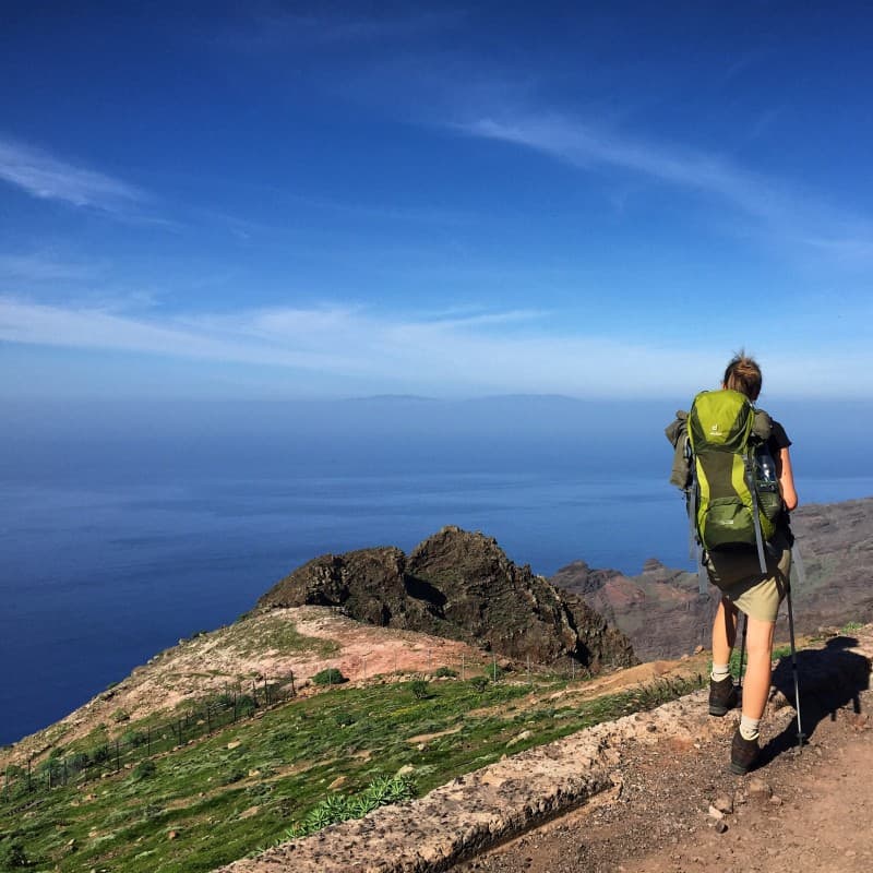
Hauling your own luggage isn't for everyone
Stage 1: Directions
Directions:
The first day begins with a 23 km bus ride to the center of the island (get off after about 40 minutes at the "Pajarito" roundabout). The first bus of line 1 leaves (as of January 2015) daily at 10:30 am from the bus station in San Sebastián de la Gomera. If you arrive directly from Tenerife with the first ferry in the morning, you can usually reach this bus. If that doesn't work, there is (except Sundays) a second bus at 12:00 p.m. However, we recommend a shortened variant of the hike so that you don't arrive at the destination in the dark: get off two stations further in the village of "Chipude" instead of "Pajarito". From there you can use the normal route from waypoint 4.
Tip:
The bus station is housed in the same building as the market hall, which also houses an underground supermarket - ideal for getting provisions for the first day of hiking.
Facts about stage 1
Altitude: 180m ascent / 1450m descent
Route: 15km
Duration: 5:30h (without breaks)
Route download for stage 1 (GPX file)
All other downloads can be found at maps.
Directions/Route
The ascent to the highest point of the island, the "Alto de Garajonay", begins from the "Pajarito" roundabout. A signposted circular route leads from here to the summit and back again. We follow this circular route on the narrow and shorter path to the summit, which can be reached after about 900m from the roundabout.
We leave the viewing platform at the summit (waypoint 1) in a westerly direction and descend towards Chipude. We follow the circular path back to "Pajarito" for a short time, leaving it soon to the right (Chipude is signposted, waypoint 2). In the further course of the path there are a few junctions with signs in the direction of Chipude until we reach the small group of houses "Los Manantiales" (waypoint 3). Here we cross the courtyard in front of us and descend the steps between the houses in an S-curve over further stairs into terraced and beautifully green terrain. We follow the path, which rises a little in between in a large left turn over a hilltop and already see Chipude lying in front of us (waypoint 4).
There is an opportunity to take a break on the main square in front of the church. A small supermarket and a bar invite you to take a break.
From Chipude down to Valle Gran Rey
From the main square there is a small steep road downhill (signposted "Valle Gran Rey, 8.9 km). After a few meters we meet the main road again, which we follow briefly to the left uphill and turn right at the next opportunity (waypoint 5). Attention: at the time of our inspection there were no signposts. After a few meters we turn right again (waypoint 6). The fact that the path actually continues here between the houses is only apparent in retrospect, when the path narrows again and becomes an idyllic hiking route.
After some time we cross an unpaved road and follow the sign for "La Matanza" straight ahead and steadily downhill. In a small depression with a watercourse, our path joins another hiking trail, which also leads down into the "Valle Gran Rey" from the opposite side of the slope "El Cercado". So we follow the signpost in the direction of "Valle Gran Rey". The path runs parallel to a former water canal for long stretches and leads above a canyon-like gorge. When the valley then widens a bit, we meet the "real" circular hiking trail GR-132 (waypoint 7) for the first time at a crossroads. So far we have only been on a feeder route.
We follow the GR-132 down to the right towards "Valle Gran Rey", cross the small valley and climb up again on the opposite side. At the top of the saddle point, a phenomenal view of the "Valle Gran Rey" (waypoint 8) awaits us. At the same time, we sense that there is still a long descent ahead of us. We turn right into the path that runs along the slope, which gradually becomes steeper. At this point, hiking poles and good shoes really pay off for the first time.
Almost at the bottom of the valley we turn at a small house onto a path running parallel to the valley, which leads us to the small church "Iglesia de los Santos Reyes". Behind the church we descend stairs into the river bed, which we follow more or less directly downstream on a wider path. Soon after, we reach the destination of the first stage with "La Calera".
