Directions/Route
We leave "Las Hayas" on the street marked "Camino Los Callejones" (identical to the way there yesterday). After approx. 1 km (waypoint 1) we turn right in the direction of Arure (from here, according to the signpost, 2.4 km). Shortly thereafter we come across a signpost on which today's destination "Vallehermoso" is written 9.2 km to the right. This variant would take us directly there, but we would miss out on some of the views. So we ignore this junction and follow the path to the left to Arure.
At a reservoir we meet the village of Aracadece and there the main road that leads down to Arure. Our hiking trail runs just below and parallel to the main road, in sections also directly on this and without continuous signage. If you want to make it easy for yourself, just stay on the main road for the short distance to Arure.
In Arure there is the possibility to replenish your provisions or at least the water supply (bakery, bar/restaurant).
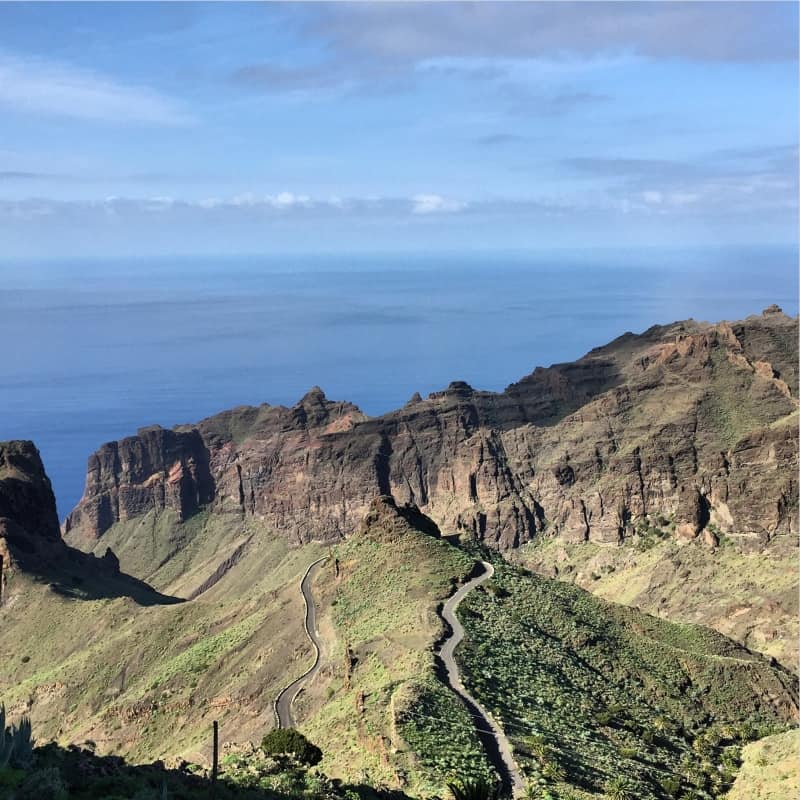
In the first bend we leave the main road and find ourselves back on the path from yesterday. At the archway we turn right and get to the "Ermita del Santo". From here we are back on the GR-132, which leads directly behind the small church into a spectacular high-altitude trail. In the next hour we will enjoy the great views of the valley of Taguluche again and again and admire the route along the steep rock faces with fascination.
Little by little we descend in the direction of Alojera and after about 3 hours of hiking we reach this small town with its many green palm trees in time for a lunch break. At the first houses we first keep going downhill, but then turn sharply to the right shortly before the small church and walk uphill again for a short distance. The simple but well-frequented "Perdomo" bar, which has a sun terrace behind the building and offers freshly made rolls, is ideal for lunch breaks.
Tip: a short distance behind the bar is the biscuit bakery "El Masapé" - what is tastier than a few typical La Gomera biscuits straight from the oven?
We follow the road a few hundred meters further uphill, until after a few switchbacks the hiking trail leaves the road again.
Facts about stage 3
Altitude: 730m ascent / 1550m descent
Route: 16.7km
Duration: 6:45h (without breaks)
Route download - Stage 3 (GPX file)
On the ascent we pass numerous water basins and the hiking trail repeatedly touches the serpentines of the road.
After a crest we go downhill for a short while and cross the road diagonally. Shortly thereafter it goes very steeply uphill again. In part, the steep path in this section is beautifully paved and provided with steps.
In this way it goes straight uphill for a total of a few hundred meters until we reach the edge of the forest and are suddenly surrounded by moss and lichen - this is the climate zone change on La Gomera.
We pass a small church and shortly afterwards come to a large road (waypoint 3), which we follow to the left past the "Los Chorros de Epina" restaurant. In the subsequent right-hand curve, we turn left onto the road (waypoint 4). We leave this road at the next bend and continue straight ahead until the hiking trail turns right in the direction of "Vallehermoso" (according to the sign, another 3.9 km).
From now on it goes steadily downhill, soon we see Vallehermoso in front of us. But the impression is deceptive: the path and the meters in altitude to the finish stretch!


